Original German WWII Luftwaffe Night Flight Navigator Map of England “Battle of Britain” – Dated 1941 Original Items
$ 595,00 $ 178,50
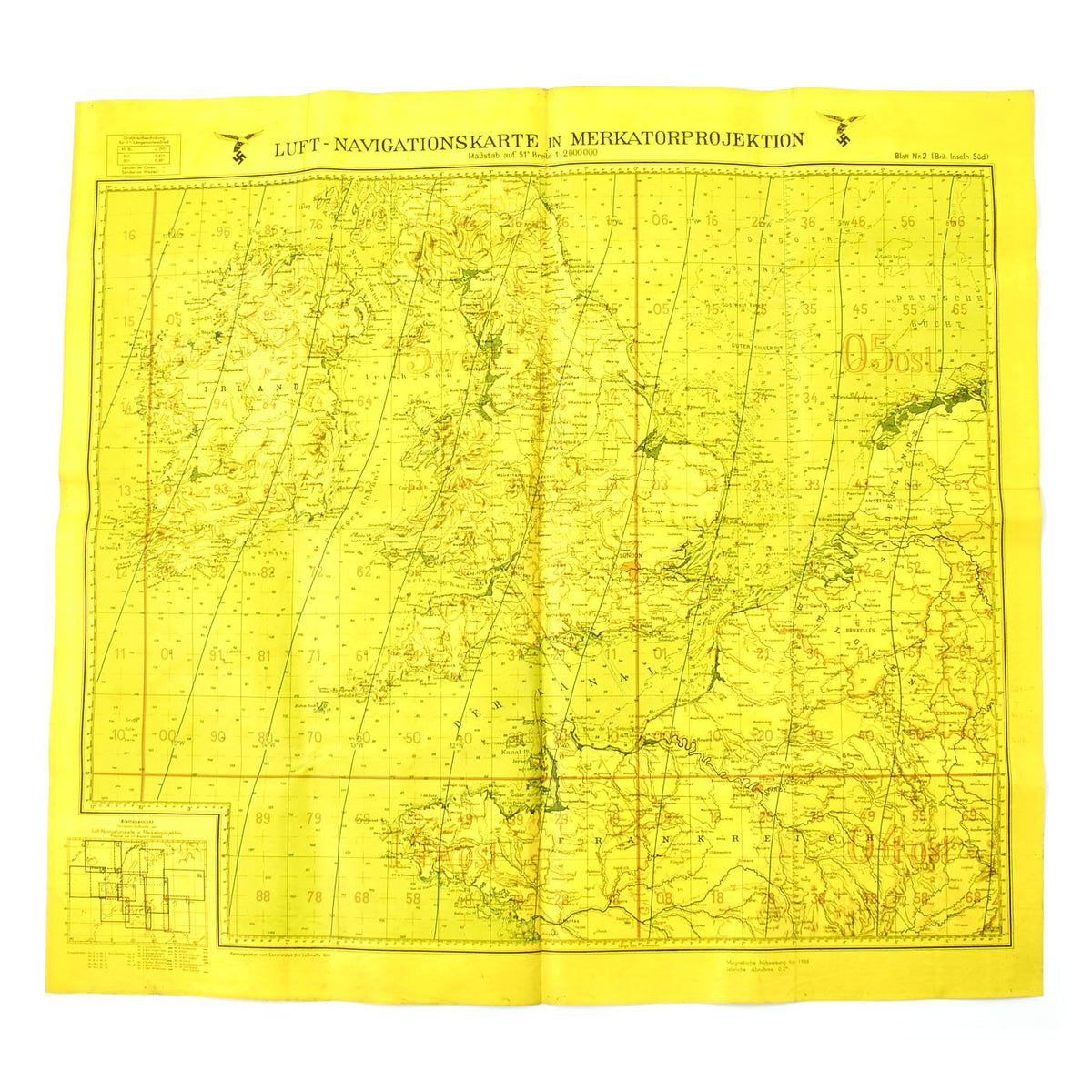
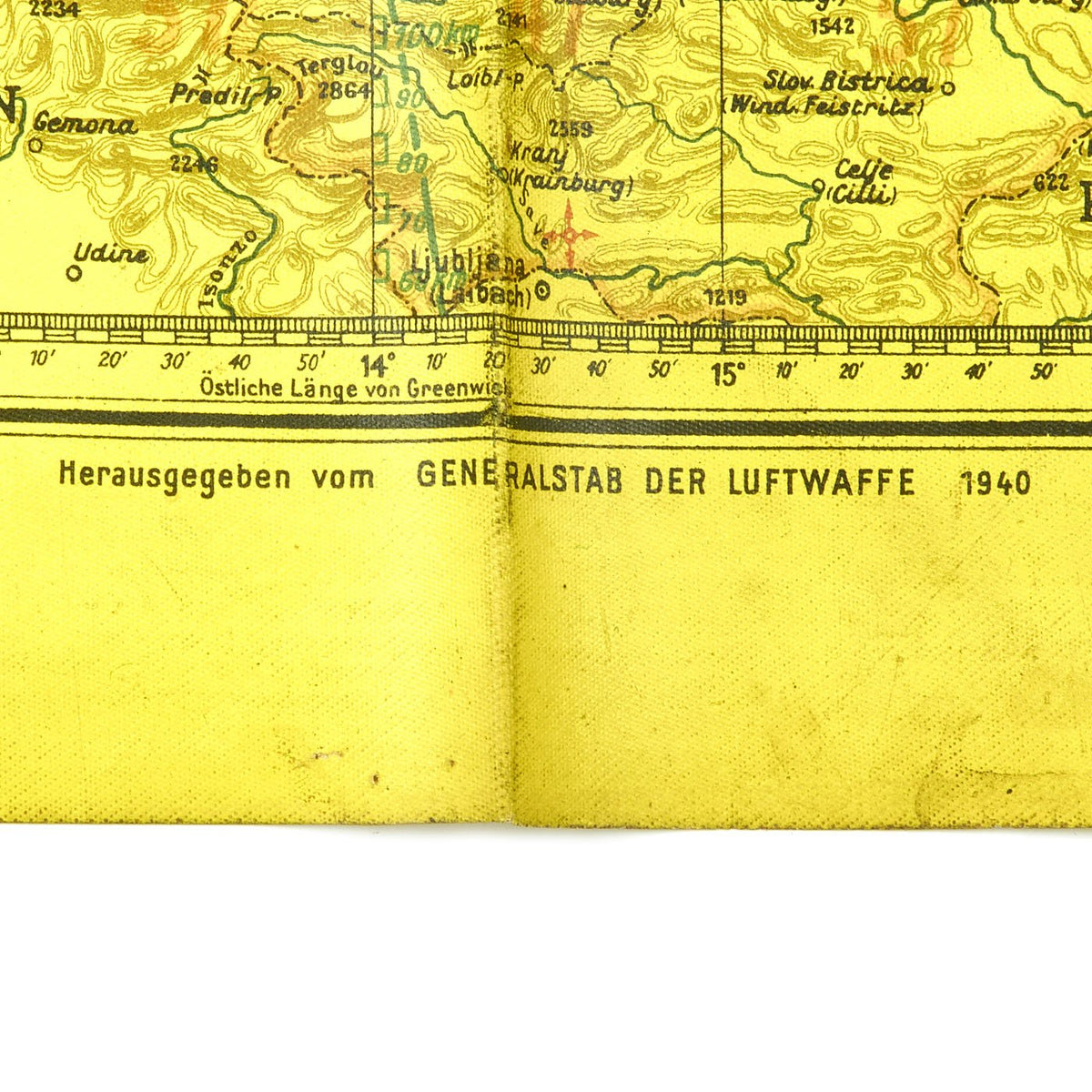
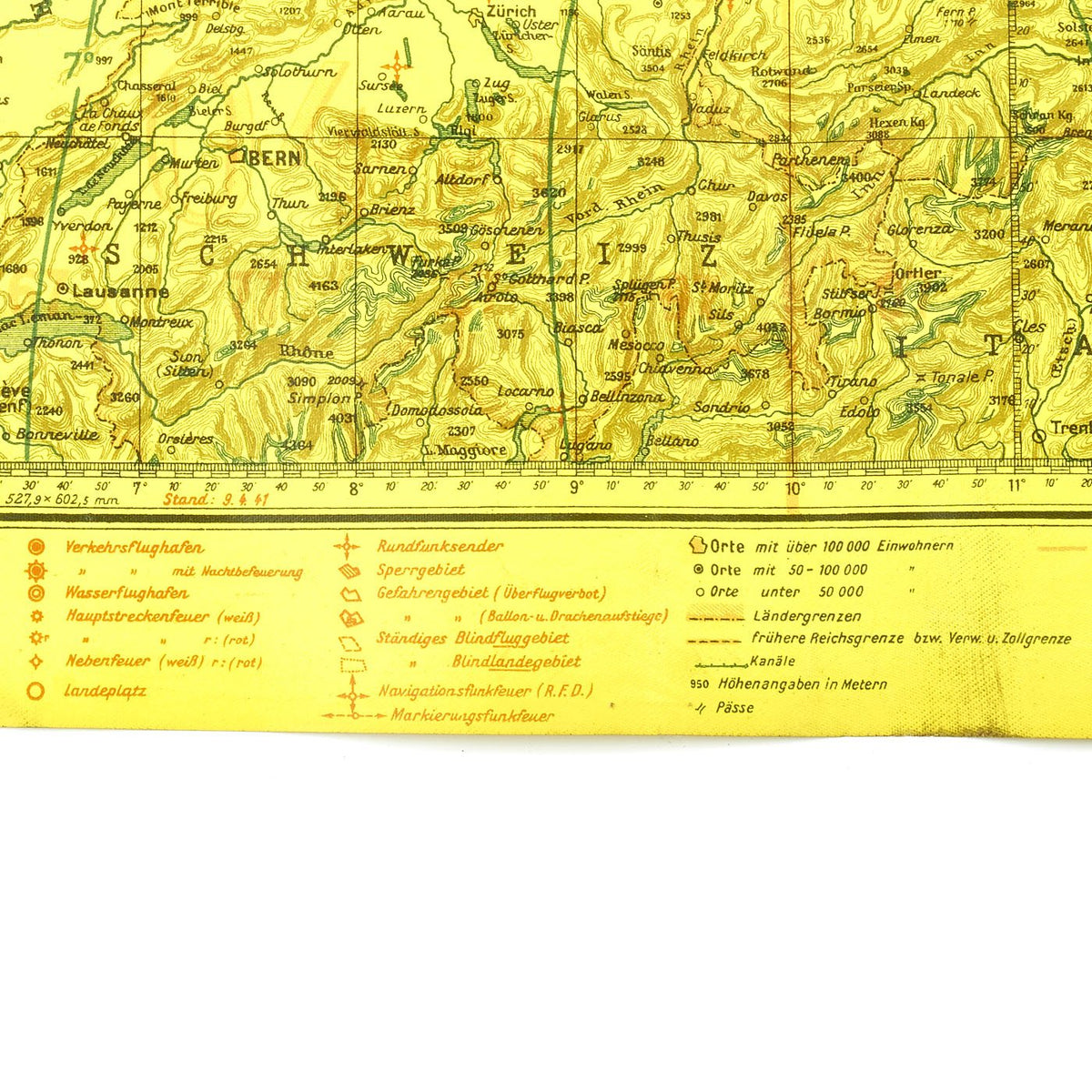
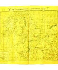
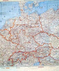
Original Item: Only One Available. The very map used by German bomber navigators during the Battle of Britain and the Blitz in WWII! Even better, this map is bright YELLOW, which means it is the type of map used during night time raids! This of course made it much easier to see in the dark cabins of German bombers.
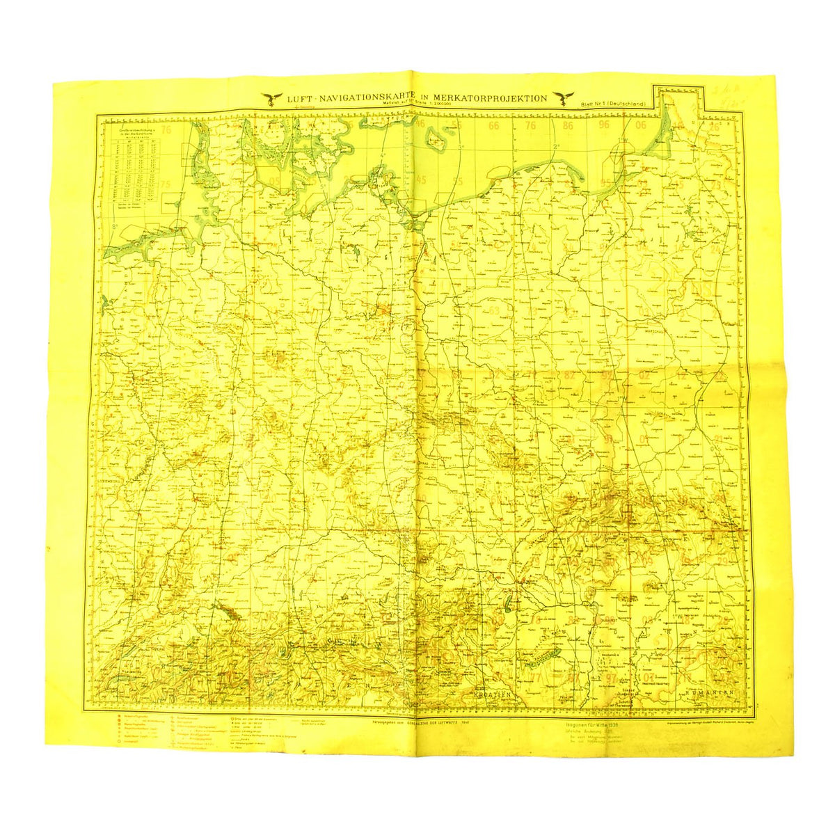
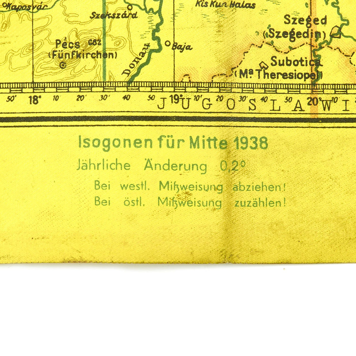
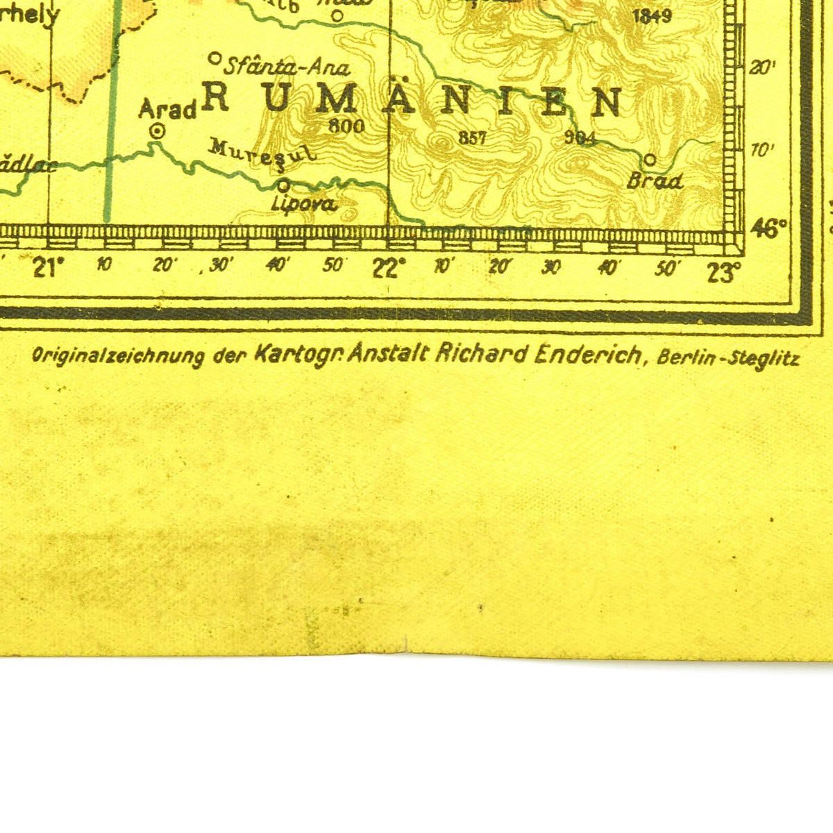
This is a wonderful waterproof vinyl type map with Luftwaffe Eagles surrounding LUFT – NAVIGATIONSKARTE IN MERKATORPROJEKTION (Air- Navigation Map in Mercator Projection) across the top. This double sided map is of England and Ireland, Northern France, Belgium and Holland on the front and the reverse is Germany, southern Denmark and parts of Holland. The areas covered were basically all that was needed for the bombing flights against Britain. It has been “overprinted” in red with symbols indicating various features including navigation beacons (Navigationsfunkfeuer). The waxy finish made it very durable, and meant that chinagraph pencils could be used to plot courses, etc. and then be wiped off once the mission was complete
This is an true air navigation map in Mercator projection and was printed in 1941. These maps were specifically produced for the Luftwaffe, and coordinates were different from the army and navy. The dates place this during the Battle of Britain which lasted from July 1940 to June 1941!
The map is in excellent condition with bright colors and no tears it measures 25″ x 27″. Most attractive and ready to display!
Fast Shipping with Professional Packaging
Thanks to our longstanding association with UPS FedEx DHL, and other major international carriers, we are able to provide a range of shipping options. Our warehouse staff is expertly trained and will wrap your products according to our exact and precise specifications. Prior to shipping, your goods will be thoroughly examined and securely secured. We ship to thousands clients each day across multiple countries. This shows how we're dedicated to be the largest retailer on the internet. Warehouses and distribution centres can be located throughout Europe as well as the USA.
Note: Orders with more than one item will be assigned a processing date depending on the item.
Before shipping before shipping, we'll conduct a thorough inspection of the items you have ordered. Today, the majority of orders will be delivered within 48 hours. The delivery time will be between 3-7 days.
Returns
The stock is dynamic and we cannot completely manage it because multiple stakeholders are involved, including our factory and warehouse. So the actual stock may alter at any time. It's possible that you may not receive your order once the order has been made.
Our policy is valid for a period of 30 days. If you don't receive the product within 30 days, we are not able to issue a refund or an exchange.
You can only return an item if it is unused and in the same state as the day you received it. You must have the item in its original packaging.
Related products
Uncategorized
Uncategorized
Uncategorized
Uncategorized
Uncategorized
Uncategorized
Australian WWII Owen MK1 Machine Carbine SMG Custom Fabricated Replica with Sling Original Items
Uncategorized
Uncategorized
Uncategorized
Uncategorized
Uncategorized
Band of Brothers ORIGINAL GERMAN WWII Le. F.H. 18 10.5cm ARTILLERY PIECE Original Items
Uncategorized
Uncategorized
Angolan Rebel 1970s era 60mm Inert Display Mortar from Angolan Civil War Original Items
Uncategorized
Uncategorized
Uncategorized
Uncategorized
