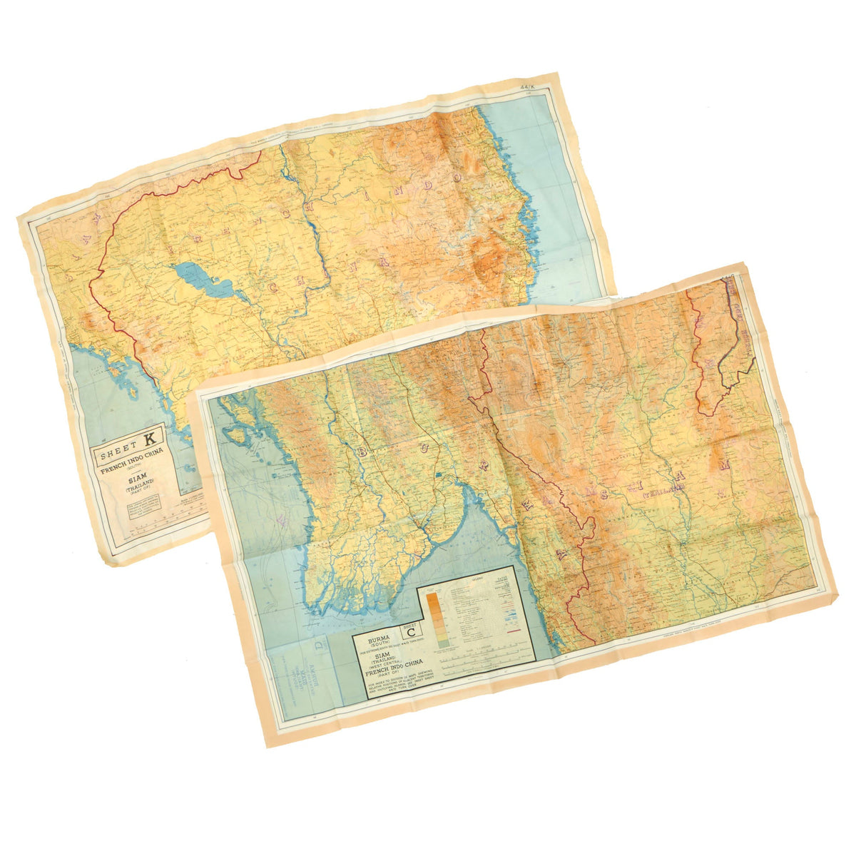
Original British WWII Set of 2 Royal Air Force Silk Evasion Maps of Southeast Asia – Burma, French Indochina & Siam Original Items
$ 250,00 $ 100,00
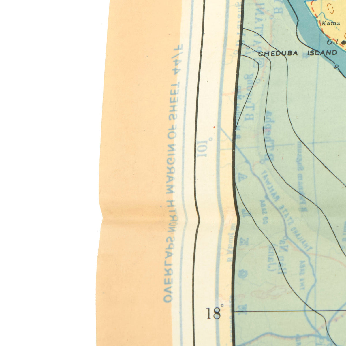
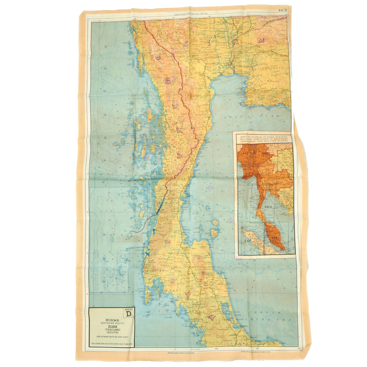
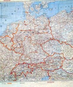
Original Items: Only One Set of 2 Available. Evasion charts or escape maps are maps made for service members, and intended to be used when caught behind enemy lines to assist in performing escape and evasion. Such documents were secreted to prisoners of war by various means to aid in escape attempts. These two maps are part of a series of maps of the Southeast Asia produced by the Royal Air Force in 1944, and both are made from silk coated with pectin, standard for British maps during WWII. Both are in very good condition, measuring 25″ x 38″ and are in full color. As is usual they are double sided, and multiple maps together would form one larger map. Maps from this set are highly desirable, and we have seen them sometimes go for over twice as much as what we are offering this set at.
The two maps that we have here are:
– Sheets 44C and 44D, which cover BURMA, SIAM (THAILAND) and parts of FRENCH INDOCHINA. This map looks to have never been issued, and still has crisp fold lines and is somewhat stiff. There are few small tears at the edge.
– Sheets 44K and 44J, which cover FRENCH INDOCHINA and SIAM (THAILAND). This map shows more wear, and has some fraying at the edges, and also is not as stiff as the other.
A great set of hard to find British escape maps of the East Asian Coast, ready to display!
During World War II, these clandestine maps were used by many American, British, and allied servicemen to escape from behind enemy lines. Special material was used for this purpose, due to the need for a material that would be hardier than paper, and would not tear or dissolve in water.
Evasion charts produced for the US, UK, and NATO were printed on vinyl sheets in the 1960s. Modern evasion charts are made of Tyvek ‘paper’, which permit printing of minute detail while remaining waterproof and tear-resistant.
Fast Shipping with Professional Packaging
Thanks to our longstanding association with UPS FedEx DHL, and other major international carriers, we are able to provide a range of shipping options. Our warehouse staff is expertly trained and will wrap your products according to our exact and precise specifications. Prior to shipping, your goods will be thoroughly examined and securely secured. We ship to thousands clients each day across multiple countries. This shows how we're dedicated to be the largest retailer on the internet. Warehouses and distribution centres can be located throughout Europe as well as the USA.
Note: Orders with more than one item will be assigned a processing date depending on the item.
Before shipping before shipping, we'll conduct a thorough inspection of the items you have ordered. Today, the majority of orders will be delivered within 48 hours. The delivery time will be between 3-7 days.
Returns
The stock is dynamic and we cannot completely manage it because multiple stakeholders are involved, including our factory and warehouse. So the actual stock may alter at any time. It's possible that you may not receive your order once the order has been made.
Our policy is valid for a period of 30 days. If you don't receive the product within 30 days, we are not able to issue a refund or an exchange.
You can only return an item if it is unused and in the same state as the day you received it. You must have the item in its original packaging.
Related products
Uncategorized
Uncategorized
Uncategorized
Uncategorized
Uncategorized
Uncategorized
Band of Brothers ORIGINAL GERMAN WWII Le. F.H. 18 10.5cm ARTILLERY PIECE Original Items
Uncategorized
Uncategorized
Uncategorized
Uncategorized
Uncategorized
Uncategorized
Uncategorized
Uncategorized
Uncategorized
Uncategorized
Uncategorized
