Original German WWII 1943 Luftwaffe Navigator Map of Germany Original Items
$ 425,00 $ 127,50
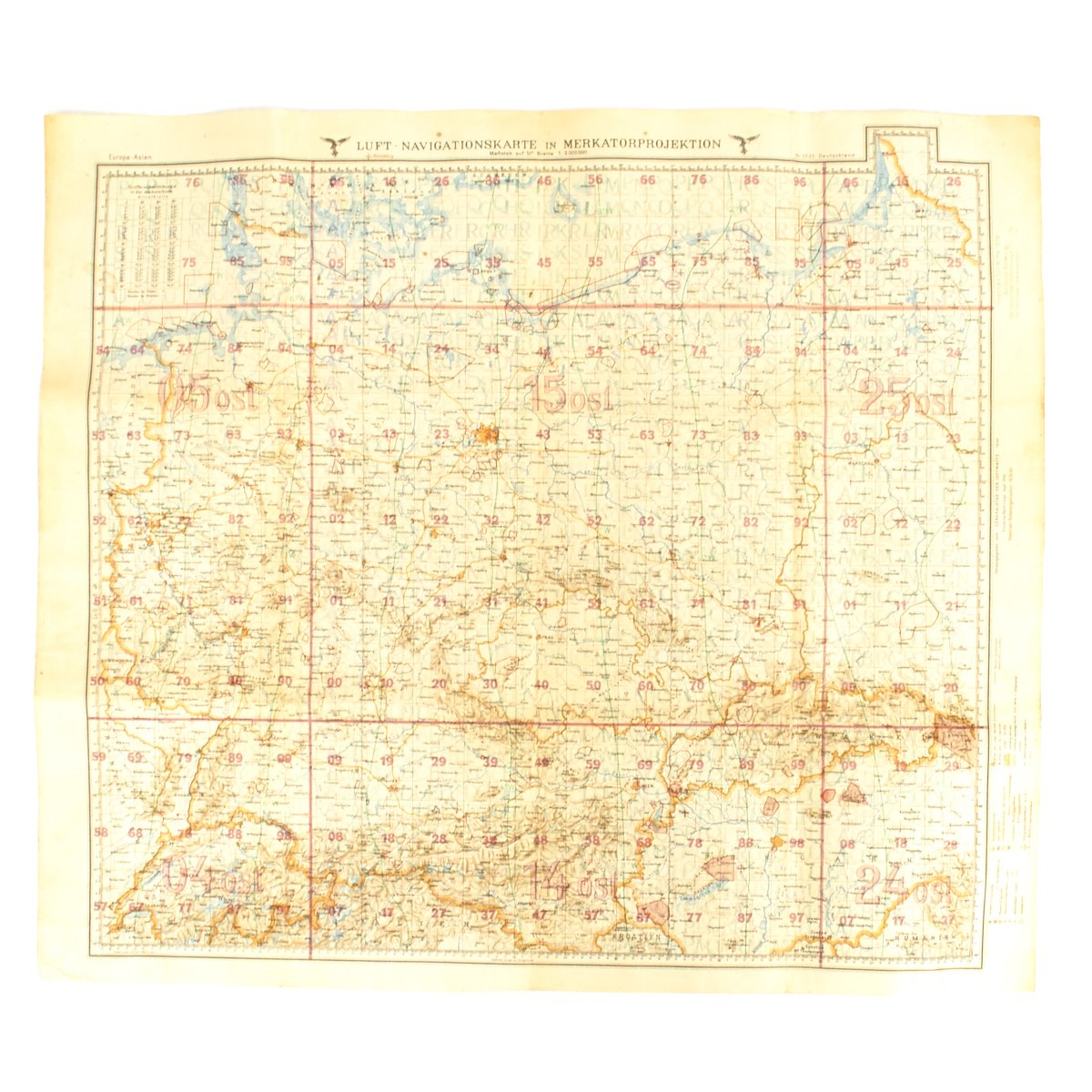
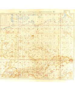
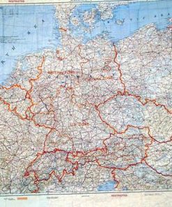
Original Item: Only One Available. This very map used by German Luftwaffe pilots and navigators during WW2!
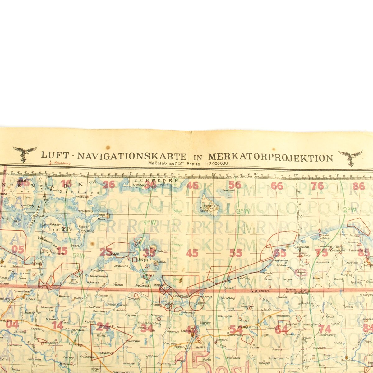
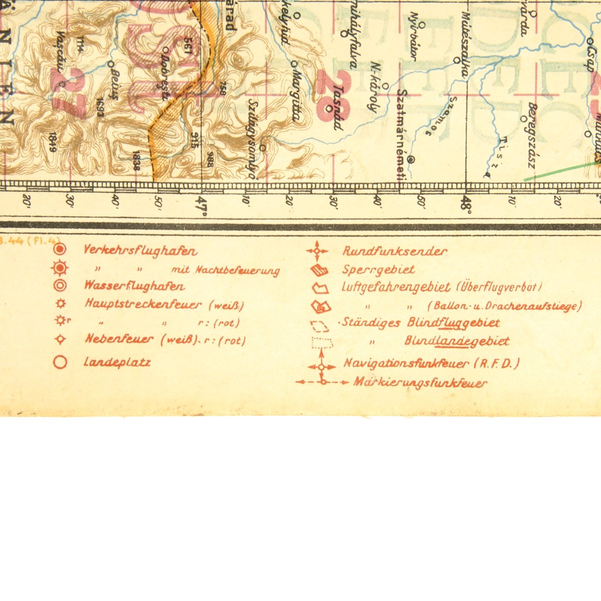
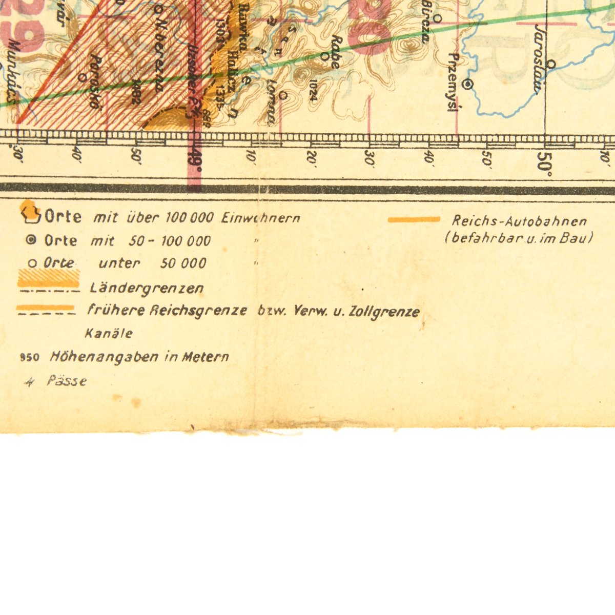
Officially titled NAVIGATIONSKARTE in MERKATORPROJEKTION this line of maps originated from the so-called Vogel maps, which were primarily used as army maps, flyer cards were created by the General Staff of the Air Force and issued as work and navigation maps. The work maps were printed on a scale of 1: 1,000,000 in greyscale levels, while the navigation maps (such as this example) were printed on a scale of 1: 2,000,000 in five-color printing. In addition, the navigational charts, which eventually gained prominence under the designation “Air Navigation Chart”, included commercial airports, military airports, water airports, airfields, beacons, obstacles, restricted and dangerous areas, blind and blind landing areas. The following aerial navigation map in Merkatorprojektion, Blatt Deutschland, first published by the Luftwaffe General Staff in 1938 then updated in 1943. Reads along edge Luft-Navigationskarte, Blatt Deutschland, vom Generalstab der Luftwaffe.
This is an excellent example of a completely original aviation map of GERMANY with surrounding countries such as Austria, portions of Poland and many others.
As was done with many Luftwaffe Fliegerkarte, this map is laminated on some sort of soft laminate fabric making water proof and so it can be folded and unfolded many times without ripping.
The map bears the date of October 15th, 1943 and is printed at a scale of 1:2,000,000. The 24 x 27 inch multi-color map features major cities such as Berlin, Munich, Warsaw and many more.
Fast Shipping with Professional Packaging
Thanks to our longstanding association with UPS FedEx DHL, and other major international carriers, we are able to provide a range of shipping options. Our warehouse staff is expertly trained and will wrap your products according to our exact and precise specifications. Prior to shipping, your goods will be thoroughly examined and securely secured. We ship to thousands clients each day across multiple countries. This shows how we're dedicated to be the largest retailer on the internet. Warehouses and distribution centres can be located throughout Europe as well as the USA.
Note: Orders with more than one item will be assigned a processing date depending on the item.
Before shipping before shipping, we'll conduct a thorough inspection of the items you have ordered. Today, the majority of orders will be delivered within 48 hours. The delivery time will be between 3-7 days.
Returns
The stock is dynamic and we cannot completely manage it because multiple stakeholders are involved, including our factory and warehouse. So the actual stock may alter at any time. It's possible that you may not receive your order once the order has been made.
Our policy is valid for a period of 30 days. If you don't receive the product within 30 days, we are not able to issue a refund or an exchange.
You can only return an item if it is unused and in the same state as the day you received it. You must have the item in its original packaging.
Related products
Uncategorized
Uncategorized
Uncategorized
Uncategorized
Band of Brothers ORIGINAL GERMAN WWII Le. F.H. 18 10.5cm ARTILLERY PIECE Original Items
Uncategorized
Uncategorized
Uncategorized
Armored Burgonet Helmet & Polearm from Scottish Castle Leith Hall Circa 1700 Original Items
Uncategorized
Uncategorized
Uncategorized
Australian WWII Owen MK1 Machine Carbine SMG Custom Fabricated Replica with Sling Original Items
Uncategorized
Uncategorized
Uncategorized
Armoured Fighting Vehicles of the World: AFVs of World War One (Hardcover Book) New Made Items
Uncategorized
Uncategorized
Uncategorized
Uncategorized
Angolan Rebel 1970s era 60mm Inert Display Mortar from Angolan Civil War Original Items
Uncategorized
Uncategorized
