Original German WWI & WWII Military Map Collection – 4 Maps Original Items
$ 400,00 $ 120,00
Original Item: Only One Lot of 4 Available. Map reading skills become very important in military operations. Military strategists use maps to locate opposing forces, plan operations, and to coordinate logistics. When an operation is planned, the directions must be precise in terms of time and location. The military has many personnel who are experts in reading topographic maps. Topographic maps portray the physical features of an area. They show the locations and shapes of mountains, valleys and plains, the networks of streams and rivers, and the locations of man-made features such as trails, roads, towns, boundaries, and buildings. They also show what the terrain is like including its steepness, distances, and the kinds of vegetation. All of these are important considerations in military planning. It is easier to move personnel and supplies along a level, paved road than across a series of brush-covered hills and valleys. Topographic maps contain the information needed to decide where to go and where to position things.
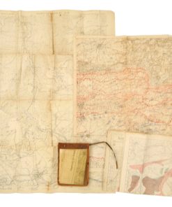
The Maps Featured In This Lot:
– WWI 1918 Dated Map of North Eastern France: The map features marked German military positions and locations for Somme-Suippe, Suippes, Sommepy and surrounding areas. The map is in good condition for its age and measures 31” x 25”.
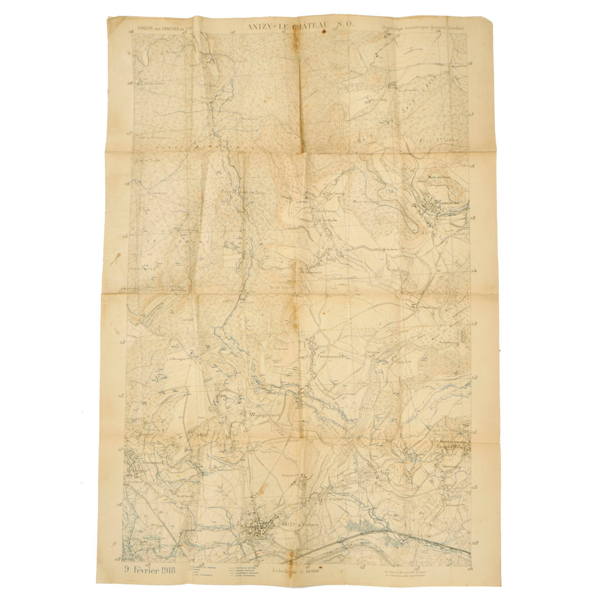
– WWI 1918 Dated Map of Anizy-le-Château: This is another military positions map and is marked and labeled accordingly in the legend. The map is in great condition for its age and measures 42” x 29”.
– WWI Undated Sichkarte Visual Map: This is a visual map depicting various “no mans land” locations at elevations varying from 304 meters. The map shows the locations of Bethincourt, Forges, Dannevoux and surrounding areas. The map is in great condition and measures 28” x 26 ½”.
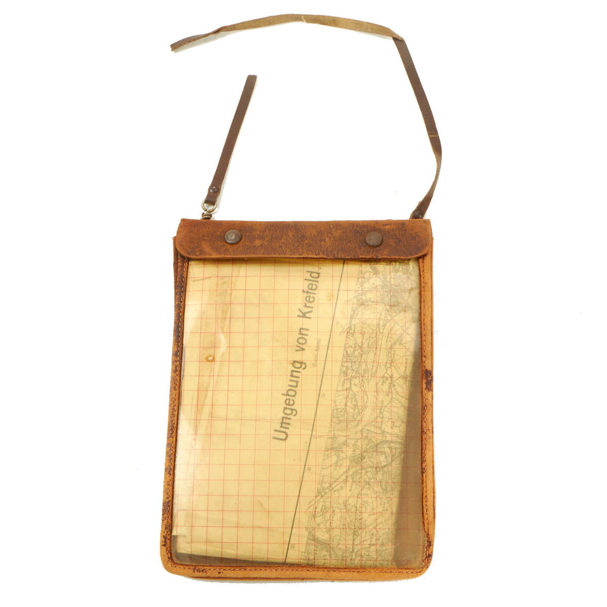
– WWII 1940 Dated Map of Krefeld, Germany With Case: This is a map of Krefeld and the surrounding areas. It is located northwest of Düsseldorf, its center lying just a few kilometers to the west of the river Rhine; the borough of Uerdingen is situated directly on the Rhine. Because of its economic past, Krefeld is often referred to as the “Velvet and Silk City”. The map and case are in good condition. Map measures 31” x 30”.
This is a wonderful opportunity to add some of the most vital pieces of equipment you carry on the battlefield, a map. Comes ready to display!
Fast Shipping with Professional Packaging
Thanks to our longstanding association with UPS FedEx DHL, and other major international carriers, we are able to provide a range of shipping options. Our warehouse staff is expertly trained and will wrap your products according to our exact and precise specifications. Prior to shipping, your goods will be thoroughly examined and securely secured. We ship to thousands clients each day across multiple countries. This shows how we're dedicated to be the largest retailer on the internet. Warehouses and distribution centres can be located throughout Europe as well as the USA.
Note: Orders with more than one item will be assigned a processing date depending on the item.
Before shipping before shipping, we'll conduct a thorough inspection of the items you have ordered. Today, the majority of orders will be delivered within 48 hours. The delivery time will be between 3-7 days.
Returns
The stock is dynamic and we cannot completely manage it because multiple stakeholders are involved, including our factory and warehouse. So the actual stock may alter at any time. It's possible that you may not receive your order once the order has been made.
Our policy is valid for a period of 30 days. If you don't receive the product within 30 days, we are not able to issue a refund or an exchange.
You can only return an item if it is unused and in the same state as the day you received it. You must have the item in its original packaging.
Related products
Uncategorized
Uncategorized
Uncategorized
Uncategorized
Uncategorized
Band of Brothers ORIGINAL GERMAN WWII Le. F.H. 18 10.5cm ARTILLERY PIECE Original Items
Uncategorized
Uncategorized
Uncategorized
Uncategorized
Uncategorized
Uncategorized
Armoured Fighting Vehicles of the World: AFVs of World War One (Hardcover Book) New Made Items
Uncategorized
Uncategorized
Uncategorized
Uncategorized
Uncategorized
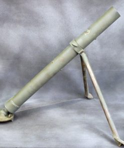
Angolan Rebel 1970s era 60mm Inert Display Mortar from Angolan Civil War Original Items


