Original German WWII Luftwaffe Double Sided Navigation Map – North Sea & Western Europe – dated 1938 Original Items
$ 295,00 $ 118,00
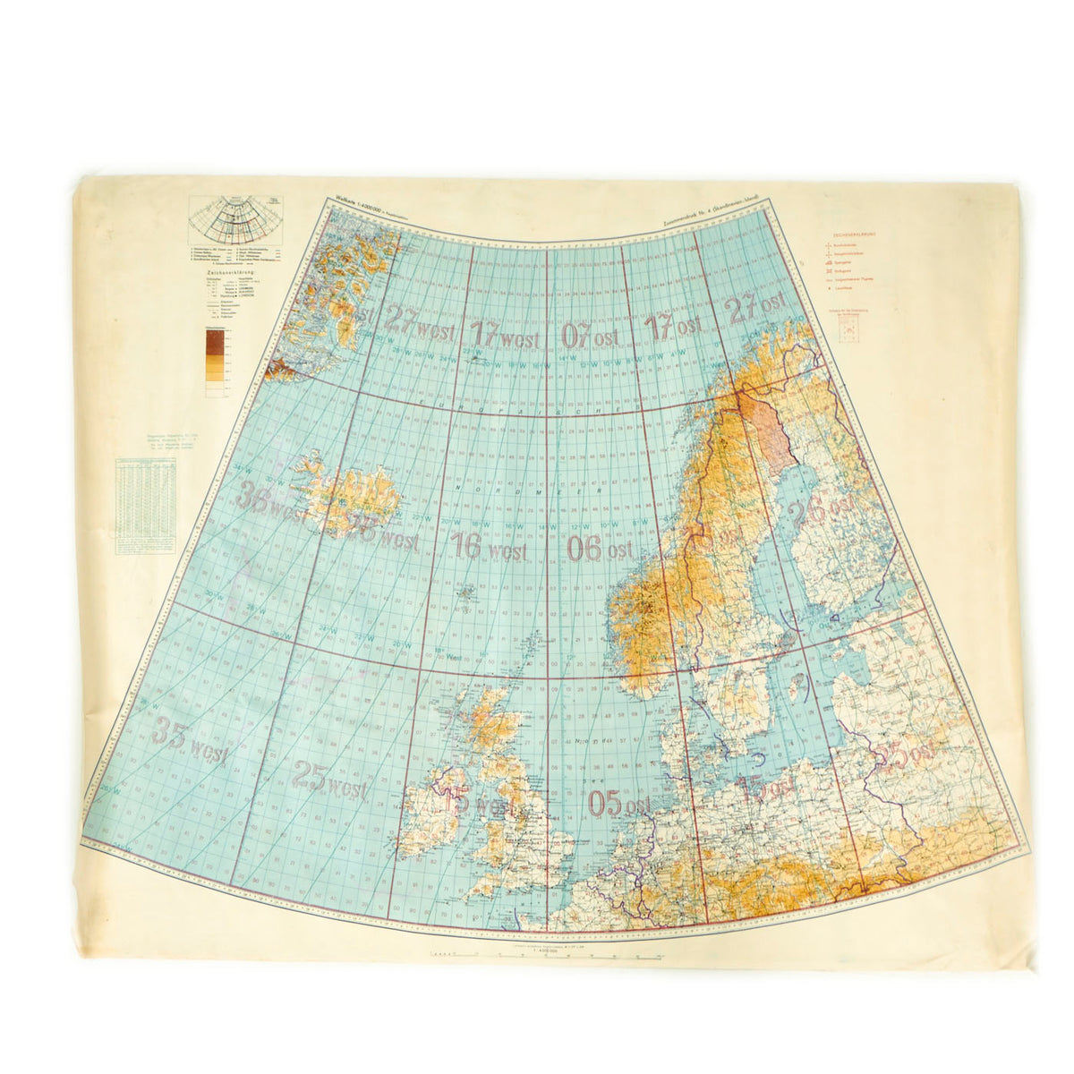
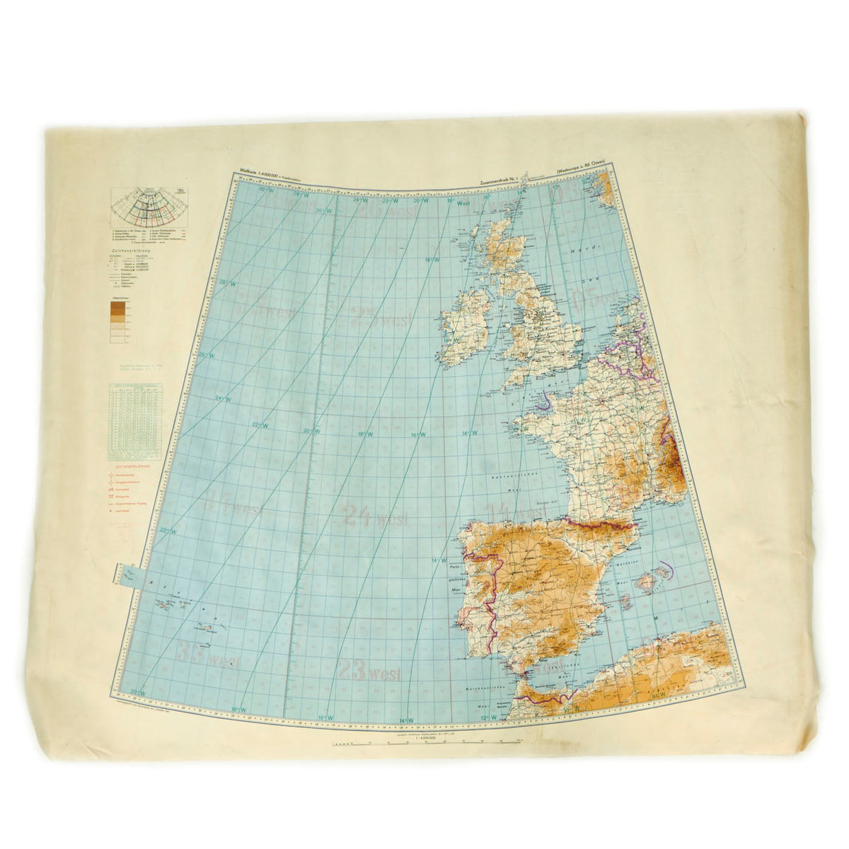
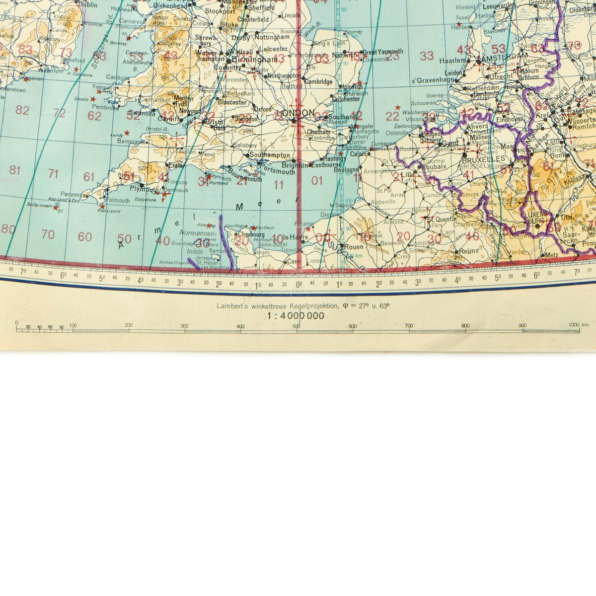
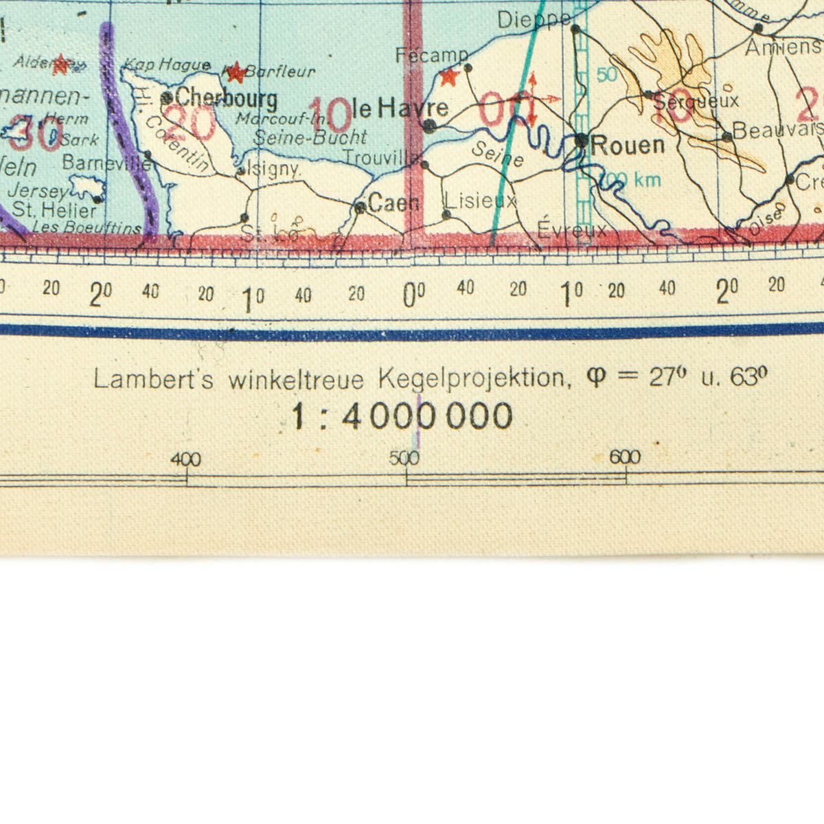
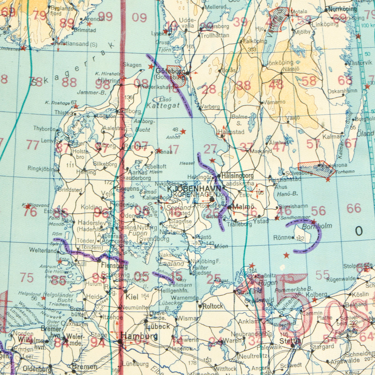
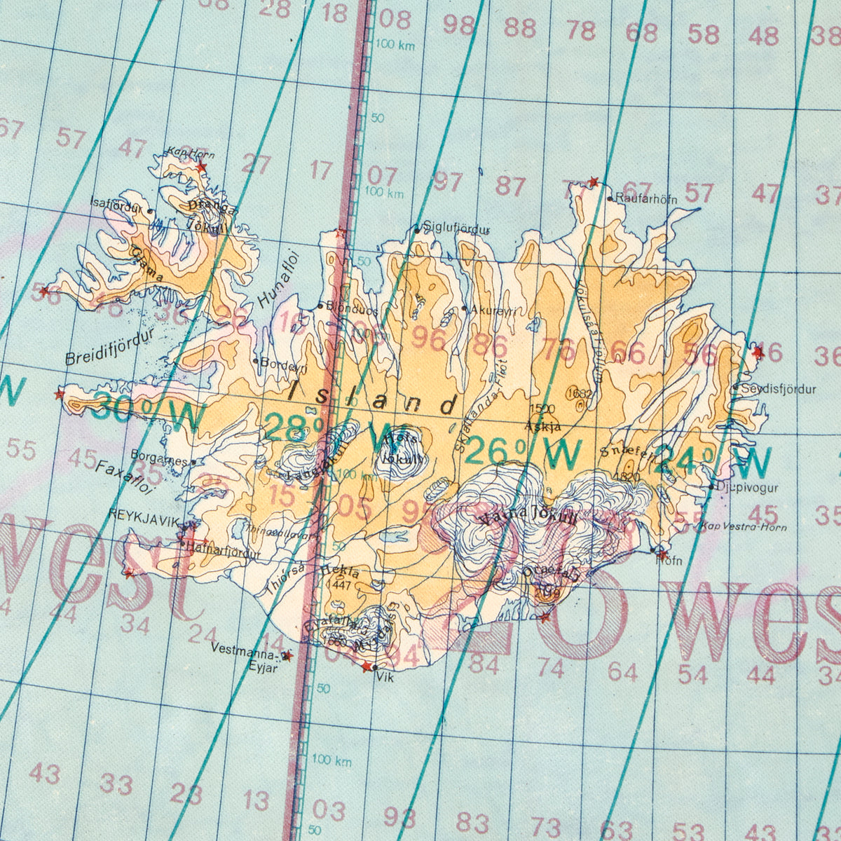
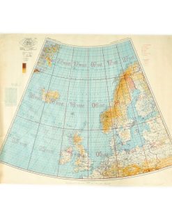
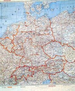
Original Item: Only One Available. This is a wonderful German WWII waterproof vinyl type map with Weltkarte 1 : 4 000 000 in Kegelprojektion on both sides, indicating that it is a conical projection world map in 1 to 4,000,000 scale. Both sides are dated 1938 when indicating the magnetic declination, so these are definitely WWII maps, and show lots of areas of great importance during WWII! As noted by the legend, this map is part of a series of maps, which when used together would cover much of the North Atlantic and Europe.
One side is marked Zusammendruck Nr. 4 (Skandinavien-Island), and does indeed show the Skandinavian Islands, but this includes the entire NORTH SEA as well as the BALTIC SEA, both hotbeds of WWII activity. It also shows the British Isles and much of Northern Europe. The border of Germany is in the middle of Poland, indicating the map is from the 1939-1940 Era, after the division and occupation of Poland between NSDAP Germany and the USSR. It also shows some “restricted areas” adjacent to Sweden in Finland, most likely taking into account the “Winter War” fought between the USSR and Finland. Really a fantastic view into the many changes that happened to the borders in Europe during the WWII period and afterwards.
The second side is marked Zusammendruck Nr. 1 (Westeuropa u. Atl. Ozean), and shows France, Spain, Portugal, the British Isles, as well as the surrounding islands and even parts of North Africa. There are again “restricted areas” noted, this time in Spain, probably related to the Civil War fought there, which had just ended in 1939, so some areas were definitely not peaceful. France, of course, was about to become battleground, and later maps would note the occupation area and Vichy France areas. This map shows the pre-war state of so many areas that would later become battlegrounds during the liberation of France.
This is an true double sided air navigation map in conical projection, based on 1938 maps with corrections circa 1940. The specific aspects of the maps place it prior to the Battle of France, giving a unique look at the very early stages of WWII. The map is in excellent condition with bright colors and no tears, measuring 33.5″ x 41″.
Most attractive and ready to display!
Fast Shipping with Professional Packaging
Thanks to our longstanding association with UPS FedEx DHL, and other major international carriers, we are able to provide a range of shipping options. Our warehouse staff is expertly trained and will wrap your products according to our exact and precise specifications. Prior to shipping, your goods will be thoroughly examined and securely secured. We ship to thousands clients each day across multiple countries. This shows how we're dedicated to be the largest retailer on the internet. Warehouses and distribution centres can be located throughout Europe as well as the USA.
Note: Orders with more than one item will be assigned a processing date depending on the item.
Before shipping before shipping, we'll conduct a thorough inspection of the items you have ordered. Today, the majority of orders will be delivered within 48 hours. The delivery time will be between 3-7 days.
Returns
The stock is dynamic and we cannot completely manage it because multiple stakeholders are involved, including our factory and warehouse. So the actual stock may alter at any time. It's possible that you may not receive your order once the order has been made.
Our policy is valid for a period of 30 days. If you don't receive the product within 30 days, we are not able to issue a refund or an exchange.
You can only return an item if it is unused and in the same state as the day you received it. You must have the item in its original packaging.
Related products
Uncategorized
Uncategorized
Uncategorized
Band of Brothers ORIGINAL GERMAN WWII Le. F.H. 18 10.5cm ARTILLERY PIECE Original Items
Uncategorized
Uncategorized
Armoured Fighting Vehicles of the World: AFVs of World War One (Hardcover Book) New Made Items
Uncategorized
Uncategorized
Uncategorized
Uncategorized
Angolan Rebel 1970s era 60mm Inert Display Mortar from Angolan Civil War Original Items
Uncategorized
Australian WWII Owen MK1 Machine Carbine SMG Custom Fabricated Replica with Sling Original Items
Uncategorized
Uncategorized
Uncategorized
Uncategorized
Uncategorized
Uncategorized
